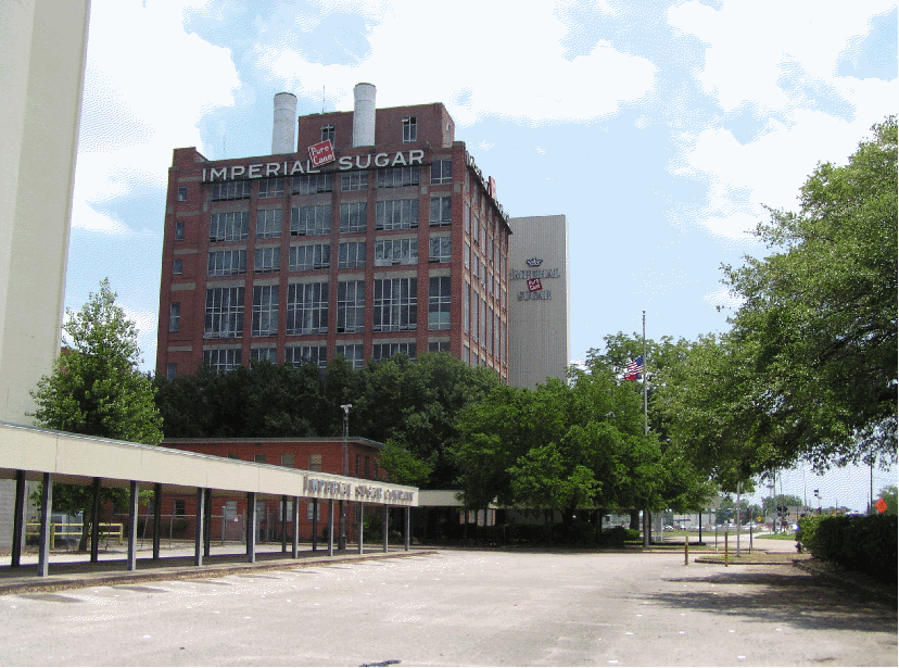
Sugar Land Industries was also known as Imperial Sugar and was the oldest continuously operating business in Texas when it closed. There is a lot of information available on the Imperial Sugar Company’s history therefore this article is only about the railroad the company built and the route it took. There is not a survey available of the original route and I do not think one was made because the route was through land that was owned by the sugar company to landowners supplying sugar cane and/or sugar syrup to Imperial Sugar Company. The Texas Land Office has a sketch #24 of eastern Fort Bend County that was completed in 1890. The Sugar Land Railroad was funded in 1893 so the 1890 map shows the county 5 years before the completion of Cunningham’s “Sugarland Road”. This was a ‘standard gage’ railroad. The ‘narrow gage’ railroads were used on the sugar plantations to transport the sugar cane from the fields to the plantation headquarters. The narrow gage tracks were smaller and lighter than the standard tracks and were moved to different fields as needed. All the engines were steam powered during these early years.
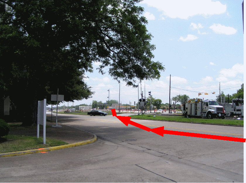
The Sugar Land Railroad started in front of the factory and departed in an easterly direction. There was an immediate turn to the right crossing Oyster Creek and continuing downstream on the eastern bank of the creek.
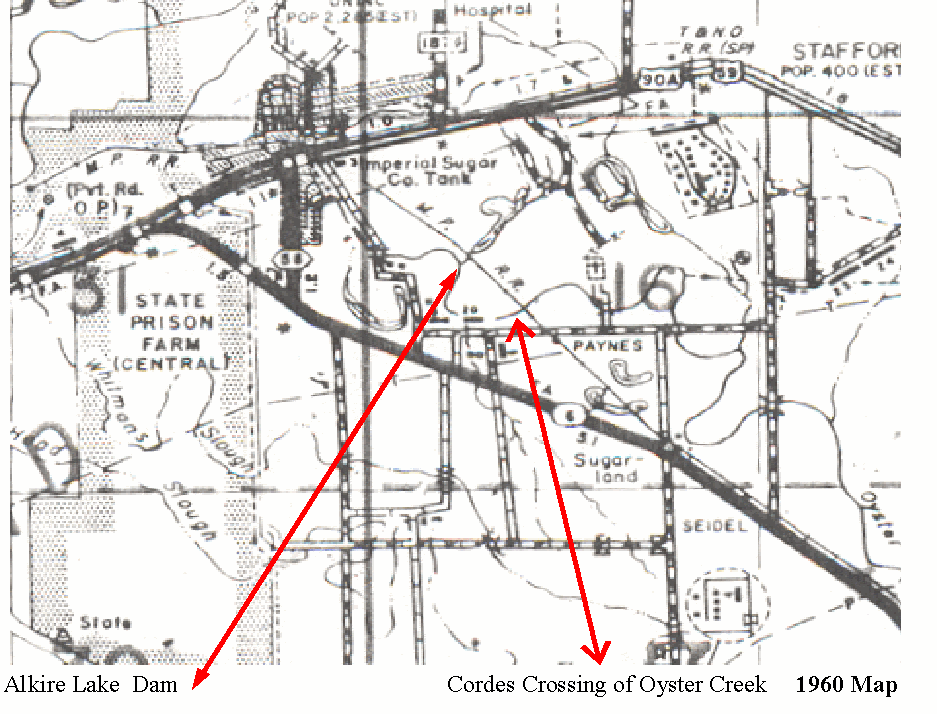
This a 1960 map. The railroad is labeled the M. P. R. R. because Missouri Pacific bought the Sugar Land Railroad in 1956. Notice how straight the railroad ran. It made a slight curve at Alkire Lake Dam and another adjustment at Hwy 6.
The map shows the railroad crossed Horseshoe Lake dam instead of Alkire Lake dam.
or